We empower businesses, governments, and organizations with data-driven insights to optimize decision-making, enhance operational efficiency, and solve complex spatial challenges
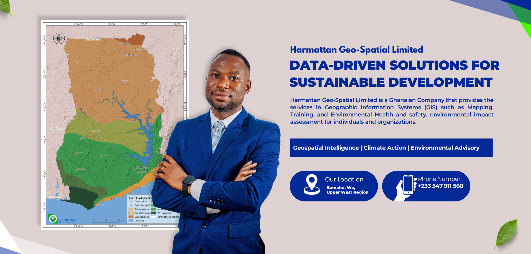
Harmattan Geo-Spatial Limited is a Ghana-registered geospatial and environmental advisory firm delivering integrated technical solutions across West and East Africa.
The company operates at the intersection of spatial science, climate action, biodiversity conservation, and sustainable finance, supporting governments, development partners, corporations, and community institutions with data-driven decision-support systems.
Monitoring, Reporting & Verification (MRV) and MEL Systems
Why Choose Us?
Integrated Geospatial & Environmental Expertise
We combine advanced spatial analytics, climate science, and environmental advisory services to deliver precise, decision-ready intelligence for governments, development partners, and private sector clients.
High-Integrity Climate & Biodiversity Solutions
Our projects align with globally recognized standards such as Verra, Plan Vivo, and BioCarbon, ensuring transparency, audit-readiness, and measurable impact across carbon and nature-based initiatives.
Robust MRV & Digital Monitoring Systems
We deploy satellite analytics, digital MEL systems, and field-based ecological methods to provide end-to-end Monitoring, Reporting, and Verification that meets international compliance expectations.
Proven Regional Experience Across Africa
Our team delivers context-specific solutions in West and East Africa, integrating science, finance, and policy to support nature-positive development at landscape and value-chain levels.
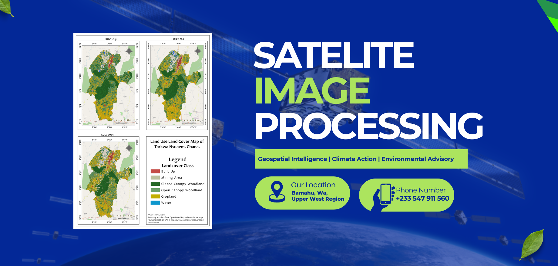
We offer geospatial mapping and analytics, environmental and social assessments, climate risk analysis, nature-based project development (ARR, REDD+, regenerative agriculture), carbon/biodiversity credit development, and full Monitoring, Reporting & Verification (MRV) and MEL systems.
We support governments, development partners, NGOs, corporations, project developers, and community-based institutions that require geospatial intelligence, environmental assessments, or climate/biodiversity finance solutions.
Yes. We design and implement Nature-based Solutions (NbS) projects aligned with recognized voluntary market standards such as Verra (VCS, SD VISta), Plan Vivo, and BioCarbon. We handle baseline studies, carbon stock assessments, MRV, and credit documentation.
Our workflows integrate satellite remote sensing, GNSS/GPS data, field ecological surveys, digital data collection platforms, and rigorous quality-control frameworks. All outputs are audit-ready and compliant with international validation and verification requirements.
We supply GNSS/GPS devices, GIS software solutions, and training programs to strengthen institutional capacity in mapping, MRV, and digital MEL systems.