About Us

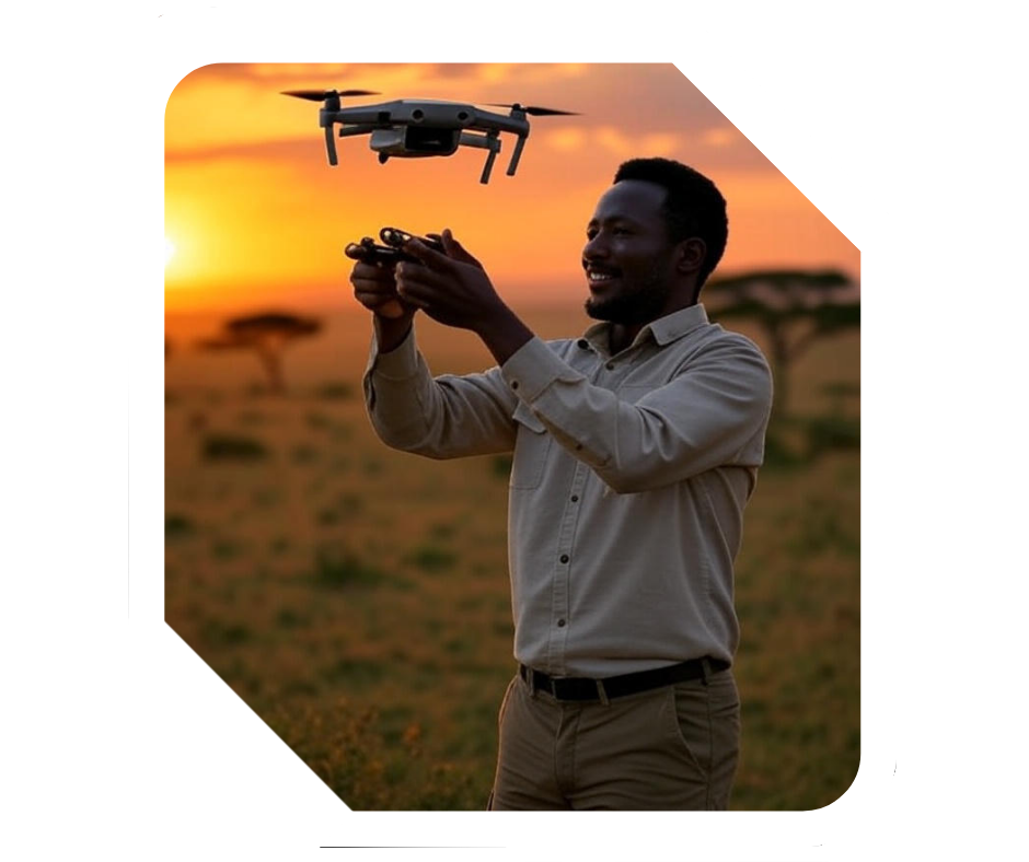
Exclusive technology to provide environmental solutions

Transforming raw geographic data into actionable intelligence for a smarter, more sustainable solution.

  • Easily Build Custom Reports And Dashboards
  • Generating Methodologies for Projects
  • Collecting and Analysing Data

Providing mapping solutions & environmental services.

Quality Solution for all project types

Integrating advanced mapping solutions with comprehensive environmental services to drive sustainable decision-making. We transform geospatial data into actionable intelligence through custom maps, spatial analytics, and interactive dashboards for urban planning, natural resource management, and disaster resilience.

Amazing Expert Teams

Our environmental expertise leverages satellite imagery, drone surveys, and AI-powered analysis to monitor ecosystems, assess climate impacts, and ensure regulatory compliance—enabling governments, NGOs, and businesses to balance development with ecological preservation.

Urgent Support For Clients

From precision agriculture to carbon footprint modeling, we bridge technology and sustainability to help clients navigate complex environmental challenges with data-driven clarity.

1800+

Happy Clients

600+

Finished Projects

200+

Skilled Experts

26%

Clients Satisfaction

Our expert team is always ready to help you

Let’s build some awesome GIS project together

Harmattan Geospatial transforms raw geographic data into actionable intelligence for a smarter, more sustainable future.

Address

Wa, Bamhu, Ghana

Office Hours: Mon– Fri: 9:00 AM – 06:30 PM Sat: 12:00 PM - 8:00 PM

Fill The Contact Form

Feel free to contact with us, we don’t spam your email

Unlock the Power of GIS

Ready to transform your data into actionable insights? Contact Harmattan Geospatial today for cutting-edge GIS solutions tailored to your needs.